MapTiler Landform schema
The vector tile schema describes how the vector data is organized into different thematic layers and which attribute and values each layer contains. This is useful for writing a map style.
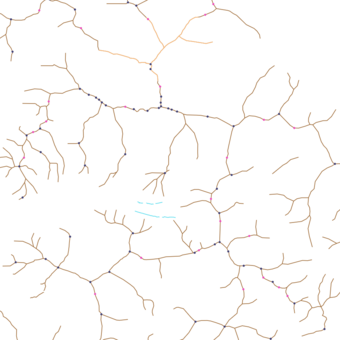
MapTiler Landform is a tileset that contains prominent topographic features—such as mountain peaks, volcanoes, saddles, cliffs, and ridgelines. Features with elevations include values in both metres and feet.
Explore the tileset in the interactive map viewer, check the date of the last update, use it as vector tiles, etc.
Inspect MapTiler Landform schema
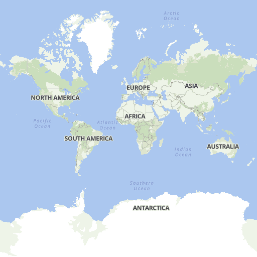
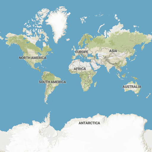
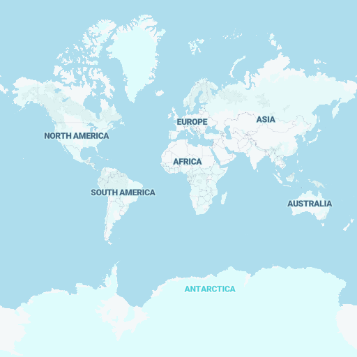
Maps with this tileset
Definition of layers
The MapTiler Landform tileset contains the following layers:
cliff #
Lines representing vertical or near-vertical natural drop in terrain topography.
cliff_label #
Lines with names representing vertical or near-vertical natural drop in terrain topography.
Fields
name
Name of the cliff. Language-specific values are in name:xx.
Examples:
White Cliffs of DoverPålstovebrotet
peak #
Points representing the tops (summits) of hills or mountains.
Fields
customary_units
Indicates the customary unit used to display a peak elevation in its country.
Values:
mft
ele
Elevation in meters.
Min/max values:
-10908849
ele_ft
Elevation in feet.
Min/max value:
-357629032
iso_a2
Two-letter country code ISO 3166-1 alpha-2.
Examples:
CHJPUS
name
Name of the peak. Language-specific values are in name:xx.
Examples:
DufourspitzeMount Rainier御嶽山
rank
Importance of the peak. Higher peaks and peaks with name have lower rank.
worldview
Defines the geopolitical perspective from which a feature is represented.
| worldview | description |
|---|---|
ch |
geopolitical world view of Switzerland |
us |
geopolitical world view of USA |
Values:
recognizedunrecognized
Examples:
worldview:ch=recognized->name=Denaliworldview:us=recognized->name=Mount McKinley
ridge #
Lines representing a hill or mountain landform with a continuous elevated crest.
Fields
class
Distinguishes between a ridge and an arête. The term arête refers specifically to a sharp, narrow, rocky ridge.
Values:
areteridge
ridge_label #
Lines with names representing a hill or mountain landform with a continuous elevated crest.
Fields
class
Distinguishes between a ridge and an arête. The term arête refers specifically to a sharp, narrow, rocky ridge.
Values:
areteridge
name
Name of the ridge. Language-specific values are in name:xx.
Examples:
TschingelgratFilo NoroesteKozí chrbát
saddle #
Points representing the lowest point along a ridge or between two mountain tops.
Fields
class
Distinguishes between a mountain_pass, which is the highest point of a road, railway, or path crossing a mountain
crest, and a saddle, which refers to a topographic depression between two peaks.
Values:
mountain_passsaddle
customary_units
Indicates the customary unit used to display a peak elevation in its country.
Values:
mft
ele
Elevation in meters.
Min/max values:
-6707907
ele_ft
Elevation in feet.
Min/max values:
-219825942
iso_a2
Two-letter country code ISO 3166-1 alpha-2.
Examples:
CHJPUS
name
Name of the saddle. Language-specific values are in name:xx.
Examples:
Col du Grand Saint-BernardNewfound GapThorong La
rank
Importance of the saddle. Higher saddles and saddles with name have lower rank.
volcano #
Points representing tops (summits) of a volcano.
Fields
customary_units
Indicates the customary unit used to display a peak elevation in its country.
Values:
mft
ele
Elevation in meters.
Min/max value:
-38006891
ele_ft
Elevation in feet.
Min/max value:
-1246722608
iso_a2
Two-letter country code ISO 3166-1 alpha-2.
Examples:
CHJPUS
name
Name of the peak. Language-specific values are in name:xx.
Examples:
EtnaMount Saint Helens富士山
rank
Importance of the volcano. Higher volcanoes and volcanoes with name have lower rank.
status
Status of the volcano.
Values:
activedormantextinctinactiveunknown
Submarine
Indicates whether the volcano is located underwater.
Values:
truefalse
License
With the use of this API, you must visibly credit these attributions: