Layers
MapTiler Land schema
The vector tile schema describes how the vector data is organized into different thematic layers and which attribute and values each layer contains. This is useful for writing a map style.
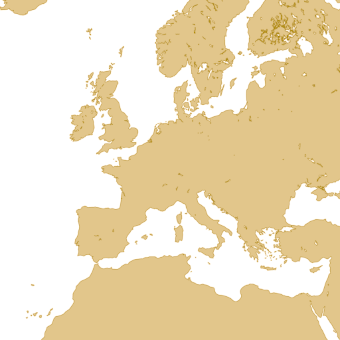
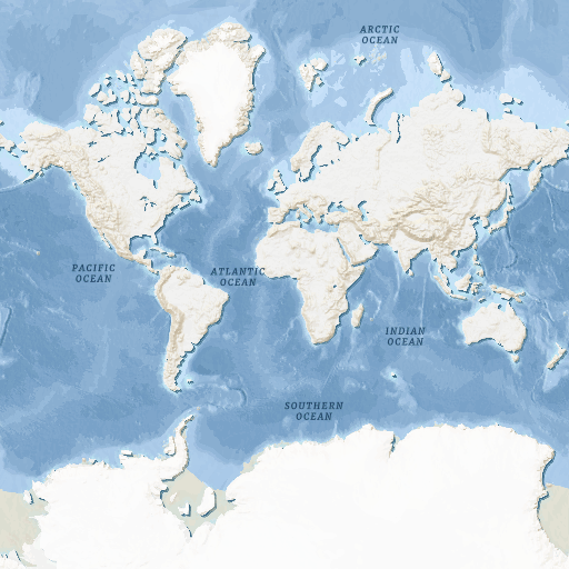
MapTiler Land is a tileset that contains vector polygons of land for advanced cartographic visualizations.
Explore the tileset in the interactive map viewer, check the date of the last update, use it as vector tiles, etc.
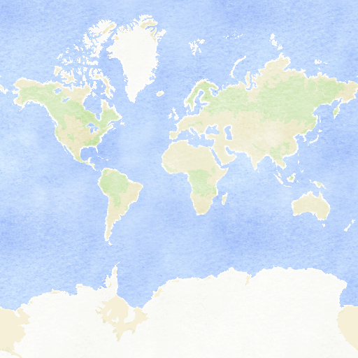
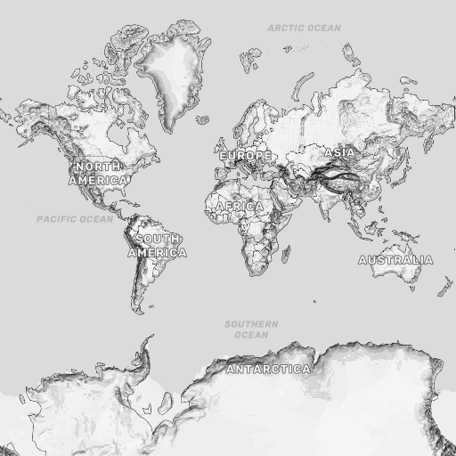
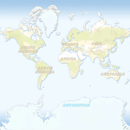
Maps with this tileset
Definition of layers
The MapTiler Land tileset contains the following layers:
land #
Clean continental surface polygons with water bodies removed. Simple base layer for custom styling and data overlay. Perfect as background or land mask.
Fields
Features of this layer have no attributes.
License
With the use of this API, you must visibly credit these attributions: