MapTiler Outdoor schema
The vector tile schema describes how the vector data is organized into different thematic layers and which attribute and values each layer contains. This is useful for writing a map style.
MapTiler Outdoor is a tileset containing general layers to maps for outdoor life like hiking, cycling, cross-country skiing, and other related activities.
Explore the tileset in the interactive map viewer, check the date of the last update, use it as vector tiles, etc.
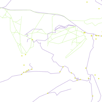
Inspect MapTiler Outdoor schema
Maps with this tileset

Definition of layers
The MapTiler Outdoor tileset contains the following layers:
outdoor_poi #
outdoor_poi (https://wiki.openstreetmap.org/wiki/Hiking) contains tourism information, camp sites, shelters, huts, springs, cave entrances, etc.
Fields
name
The OSM name value of the POI.
class
Selected values of the
information,
tower:type,
shelter_type,
tourism,
amenity,
leisure,
fireplace,
natural,
waterway,
historic,
castle_type,
sport,
man_made and
rental tags.
Possible values:
boardmapinfo_officeguidepostobservation_towershelterhutcamp_sitepicnic_siteviewpointwaterfallcave_entrancespringdrinking_waterbenchfireplacemountain_rescuefirst_aidski_schoolrentalice_rinkski_playgroundsnow_cannonbiathlonbobsleighcurlingice_hockeyice_skatingskiingski_jumpingcastlefortressruinsmemorialmonument
subclass
Subclasses for shelters, huts, springs, rental and sport according to values of the
shelter_type,
tourism,
natural,
or rental tag.
Possible values:
shelter_lean_topicnic_shelterrock_shelterweather_shelterbasic_hutalpine_hutwilderness_hutspringmineral_springskisledskates
ski #
ski contains ski + piste routes (line, polygon), lifts (line), avalanche protection features (line) and points of ski resorts, stations and pylons.
Fields
class
For point features there is choice of ski_resort, station or pylon. Class also distinguish lift and avalanche features from other winter sport categories, see values.
Possible values:
ski_resortstationpylonliftavalanchedownhillnordicskitourplaygroundsnow_parkski_jumpski_jump_landinghikesledsleighice_skatefatbikesnowkiteconnectionsnowshoe
subclass
Classification of class=lift and class=avalanche features.
Possible values:
avalanche_protectionavalanche_damfencenettunnelchair_liftdrag_liftj-barmagic_carpetmixed_liftplatterrope_towt-barfunicularincline
name
The OSM name value.
ref
Original value of the ref tag.
difficulty
Original value of the piste:difficulty tag.
Possible values:
noviceeasyintermediateadvancedexpertfreerideextreme
grooming
Original value of the piste:grooming tag.
Possible values:
classicbackcountrymogulskatingscooter
symbol
Original value of the osmc:symbol tag.
color
Derived from symbol (for nordic) or assigned according to piste:difficulty for downhill.
Possible values:
redbluegreenyellowbrownorangepurpleblackbunny hillgreen circleblue squareblack diamonddouble black diamondorange ovaldouble-black
trail #
trail contains foot + hiking + bicycle + horse + wheelchair routes and via_ferrata.
Fields
class
Distinguish between route values.
Class is derived from the value of the
route tag
and highway.
Possible values:
foothikingvia_ferratabicyclehorsewheelchair
name
The OSM name value of the trail.
ref
Original value of the ref tag.
operator
Original value of the operator tag.
symbol
Original value of the osmc:symbol tag.
color
Derived from symbol.
Possible values:
redbluegreenyellowbrownorangepurpleblack
network
Original value of the network tag.
scale
Original value of the mtb:scale tag for bicycle tracks,
value of the via_ferrata_scale tag for via_ferrata
value of the sac_scale tag for hiking trails.
License
With the use of this API, you must visibly credit these attributions: